Drone Services & Aerial Systems Project
Uganda (nationwide operations) • Technology & Infrastructure Services

Professional aerial data for faster, safer decisions
The Drone Services & Aerial Systems Project provides professional drone-based data services to support infrastructure development, agriculture, mining, real estate, and public-sector projects. Using licensed operators and compliant equipment, the project delivers accurate aerial data for mapping, inspection, monitoring, and documentation.
By reducing reliance on slow and risky ground surveys, the project improves efficiency, safety, and decision-making. It supports better planning, transparent project monitoring, and cost-effective operations across Uganda and the wider region.
Project details
- Project Name
- Drone Services & Aerial Systems Project
- Sector
- Technology & Infrastructure Services
- Sub-sector
- Unmanned Aerial Systems (UAS)
- Location
- Uganda (nationwide operations)
- Project Type
- Professional Drone Operations & Data Services
- Core Objective
- Provide reliable aerial data and monitoring services to support planning, inspection, and decision-making
- Key Services
- Aerial mapping, land surveys, infrastructure inspection, agricultural monitoring, construction progress tracking, environmental monitoring
- Technology
- Professional-grade drones with high-resolution cameras and mapping sensors
- Regulatory Status
- Operates in compliance with Uganda Civil Aviation Authority (UCAA) regulations
- Target Clients
- Infrastructure developers, agribusinesses, mining companies, government agencies, real estate developers
- Business Model
- Project-based services and long-term service contracts
- Value Proposition
- Faster data collection, improved accuracy, reduced operational risk, lower field costs
- Strategic Importance
- Enables evidence-based planning and monitoring across multiple sectors
- Development Status
- Operational and scalable
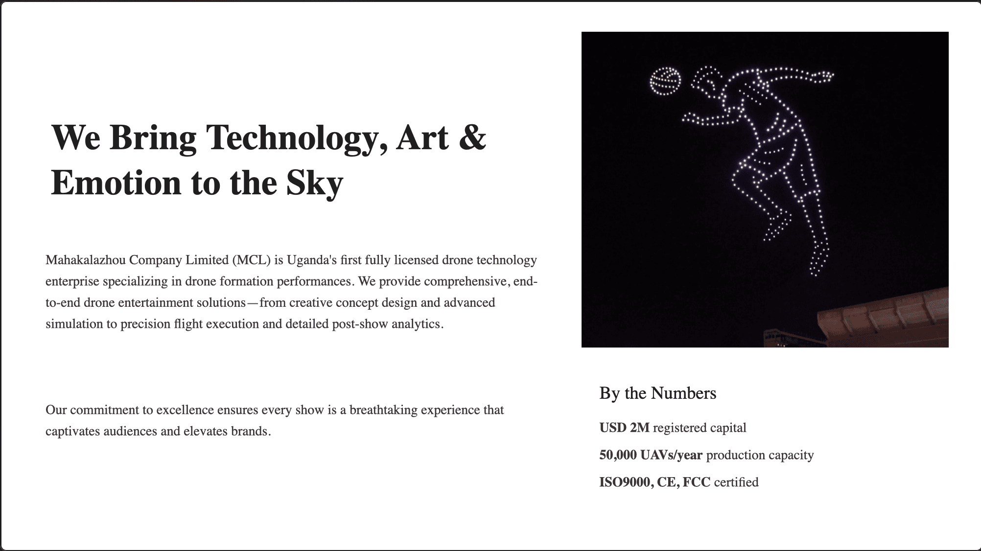
Abstract
This concept positions drone light shows as a premium entertainment and storytelling product—mixing technology, art, and live audience emotion. The proposal presents an end-to-end service model: creative concept development, simulation and programming, precision flight execution, and post-show analytics. It frames the offering as a new form of "aerial storytelling" that can serve national celebrations, cultural heritage moments, corporate launches, and major public events. The deck also introduces the performance drone platform specs and operational advantages for coordinated formations and reliable show delivery.


